Humanitarian Reference Maps
Fieldmaps is an initiative designed to address the needs of humanitarian field workers operating in environments where data quality is variable, connectivity is sporadic, or where the context changes frequently. It looks to consolidate work that has already been done within the humanitarian community into living products designed for daily use. Beyond creating tools for end-users, a primary focus is promoting inter-agency data sharing.
Data
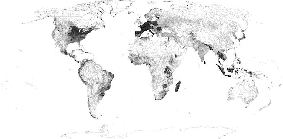
The first part of this project is to create a living database that reflects the best available reference data from multiple sources into a common format that is easy to use. The approach taken here is to start with a baseline, typically OpenStreetMap, adding national sources that have been reviewed by a UN agency, NGO, or other humanitarian actor.
To begin, work has been done cleaning up administrative boundaries to create a global edge-matched layer to be used as a foundation for additional layers on top. This database starts with countries which have undergone validation by UN OCHA for use as a common operational dataset (COD). These datasets have been reviewed for quality and consistency at the national level, so they are well aligned to fit into a global model with minimal transformations. For countries not covered, geoBoundaries is used as a gap-filler until more authoritative sources are available.
Maps
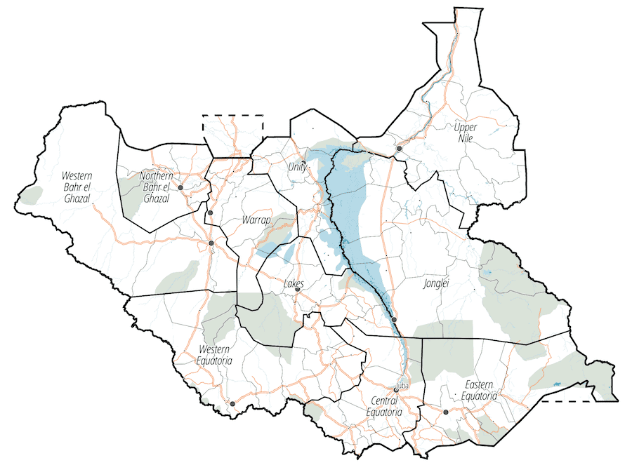
The second part of this project strives to make dense and technical data accessible to the widest possible audience. This comes from lessons learned in South Sudan and other countries in the region, where extremely low bandwidth and a lack of geospatial expertise made it difficult to put highly detailed databases into common use. A recurring problem was sharing datasets containing 10,000+ populated places among field teams, each trying to communicate back complex patterns of displacement between specific locations, often sharing similar colloquial names.
Roadmap
The following slides show the roadmap for what the future of FieldMaps could expand into: