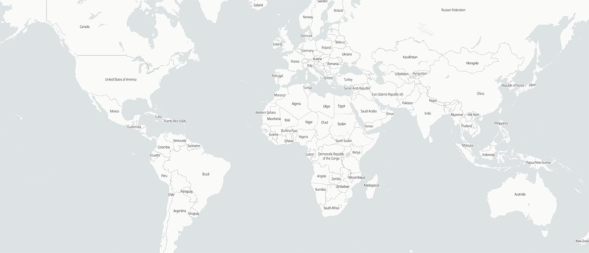
Atlas Maps
These series of atlas reference maps have evolved organically overtime, starting with the South Sudan version, growing to include neighbouring countries, and finally to a larger sample of countries where structured source data was available. Ultimately, maintaining separate code bases for each country became more difficult as the list grew, and it was clear a new approach would be needed.
Development on country-level maps listed below has been paused since January 2020 to focus on building code foundations for a unified, global version of these maps. From lessons learned in the field, the emphasis on this new version will be for searching names, discovering new locations, and providing tools to share precise location references between remote teams, sensitive to low-bandwidth conditions. This page will be updated when the new Global Atlas map is available, planned for early 2022, with a development preview available here: atlas.fieldmaps.io
Sources
Layer | URL |
---|---|
Administrative Boundaries | OCHA Common Operational Datasets (CODs) |
Roads, Waterways, Settlements, Ports, Education, Financial | Humanitarian OpenStreetMap Team (HOT) |
Health | Healthsites.io |
Protected Areas | World Database on Protected Areas (WDPA) |