Global International Boundaries
Updated: Tuesday, 29 July 2025
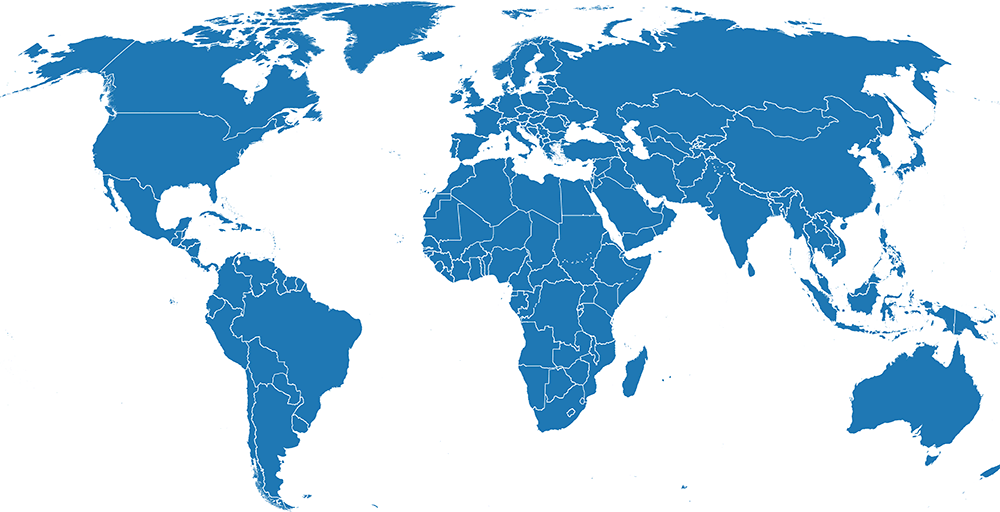
Very high resolution boundaries combining coastline data with U.S. Department of State Large Scale International Boundaries (LSIB) for international boundaries and United Nations Statistics Division M49 for attributes. See GitHub for technical information on how this layer is made.
International boundaries are built using either OpenStreetMap or U.S. Geological Survey coastlines. Within each set, ADM0 layers comes in several versions to represent different world views of disputed areas. Starting with the "All" version, areas are dissolved together based on varying international recognition. The following preset world views are available for download:
- International: A balanced world view for use by international non-governmental organizations. Disputed areas follow recommended representation used by the UN Clear Map. UN agencies should use official layers at the UN Geospatial Hub.
- All: A conservative world view that dissagregates all disputed areas. Useful if applying individual customization outside the presets generated here.
OpenStreetMap (ODbL)
Default version, uses OpenStreetMap (download) for coastlines so that it aligns with web maps using OSM for basemaps or other data.
| World View | GeoParquet (cloud-native) | Geopackage (QGIS) | Geodatabase (ArcGIS) |
|---|---|---|---|
| International | Parquet | GPKG | GDB |
| All | Parquet | GPKG | GDB |
Attribution: FieldMaps, U.S. Department of State, OpenStreetMap
License: Open Data Commons Open Database License (ODbL)
Conditions: Derived work must include attributions, be offered under the same license, and keep open access to the data
U.S. Geological Survey (Public Domain)
Specialty version, uses U.S. Geological Survey (download) for coastlines so that intellectual property and related rights in this dataset are absent.
| World View | GeoParquet (cloud-native) | Geopackage (QGIS) | Geodatabase (ArcGIS) |
|---|---|---|---|
| International | Parquet | GPKG | GDB |
| All | Parquet | GPKG | GDB |
Attribution: FieldMaps, U.S. Department of State, U.S. Geological Survey
License: Public Domain
Conditions: None